Geological Features
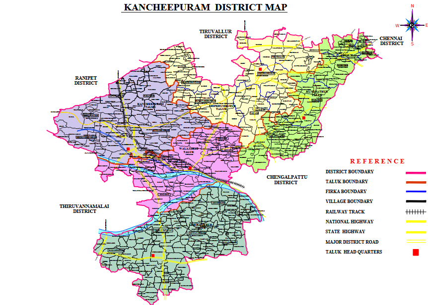
Kancheepuram district lies between 11° 00′ to 12° 00' North Latitudes and 77° 28′ to 78° 50′ East Longitudes. The district has a total geographical area of 1704.79 Sq. Kms. Kancheepuram is the district headquarters.
Agriculture
Agriculture is the main occupation of the people with 20% of the population engaged in it.Paddy is the major crop cultivated in this district. Groundnuts, Sugarcane, Cereals and Millets and Pulses are the other major crops.
| Type of Soil | Places in District |
|---|---|
| Read Loam | Kancheepuram, Uthiramerur Blocks |
| Lateritic Soil | Plateaus in the district |
| Sandy Coastal Alluviam | Some Places Thirukazhukundram,Thiruporur, St.ThomasMount. |
| Red Sandy Soil | Kancheepuram, Urban Blocks |
| Classification | Area in(Hectares) |
| Total Cropped Area | 48145.146 |
| Nett Area Sown | 36766.963 |
| Area sown more than once | 11378.183 |
| Season | Maximum | Minimum |
|---|---|---|
| Summer | 36.6° C | 21.1° C |
| Winter | 28.7° C | 19.8° C |
| Rainfall | |
| Season | Unit in mm |
| Normal | 1227.7 mm |
| Actual | 1165.8 mm |
Rainfall
The pre-monsoon rainfall is almost uniform throughout the district. The coastal taluks get more rains rather than the interior regions. This district is mainly depending on the seasonal rains, the distress conditions prevail in the event of the failure of rains. Northeast and Southwest monsoon are the major donors with 54% and 36% contribution each to the total annual rainfall.
Rivers
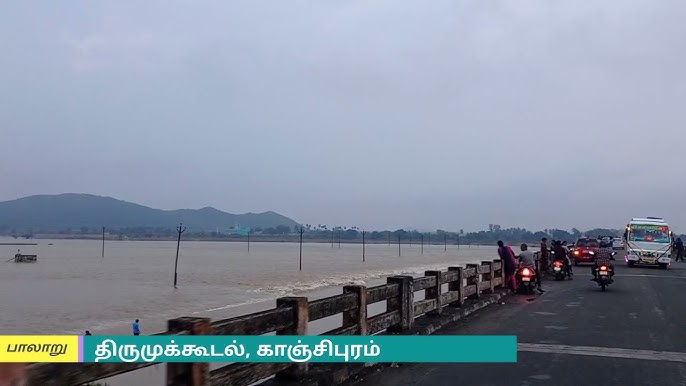
The Palar river is one of the most important river running through the district. Tanks and wells are the main sources of irrigation in this district.